


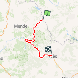

33 km | 46 km-effort


User


FREE GPS app for hiking
 SityTrail
IGN / Geographical institutes
SityTrail World
The world is yours!
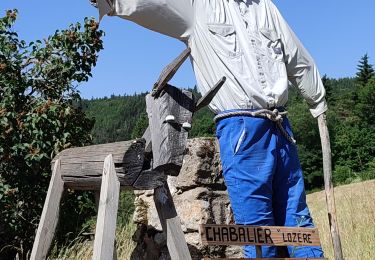
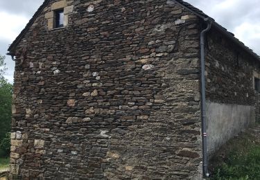
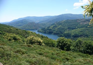
Trail Walking of 156 km to be discovered at Occitania, Lozère, La Bastide-Puylaurent. This trail is proposed by grinfos.
Randonnée avec le GR70 Chemin de Stevenson à travers le Languedoc-Roussillon par la Lozère, l'Ardèche et le Gard de La Bastide-Puylaurent à Alès. Gîtes d'étapes, Chambres d'hôtes, Hôtels, Camping, Refuges, Auberges.

Walking

Walking
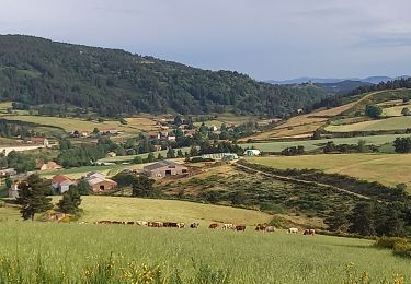
Walking

Walking
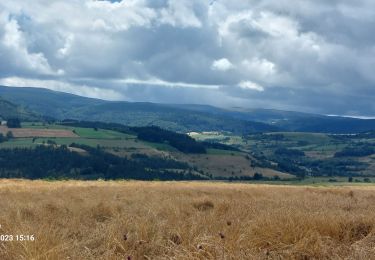
Walking
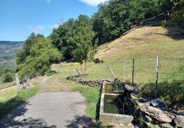
Walking
Walking
Walking
Walking